Artificial intelligence and other new technologies are promising to revolutionise our understanding of the ocean in the coming years. But the crucial element is data, and there’s an entire ocean of it to collect and process. To find out more, Euronews’ Denis Loctier travelled to the Adriatic and the North Sea, where he met some of the many scientists gathering data helping to build EU’s groundbreaking Digital Twin of the Ocean project.
Tracking the seas
Just off the coast near Miramare Castle in Trieste, bright yellow buoys mark a coastal observatory — part of Italy’s Long-Term Ecological Research Network.
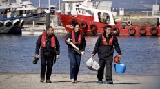
Since 1986, scientists have returned to this exact spot every month to collect water samples and take various measurements, building a long-term series of scientific data that reflects changes in the coastal environment over the years. Among them is Bruno Cataletto, a marine biologist at the National Institute of Oceanography and Applied Geophysics. “We’re conducting chemical analyses, measuring nutrient levels, salinity, chlorophyll, and biological parameters. We’ll also collect samples of phytoplankton and microzooplankton and analyze them later today in the lab,” he says.
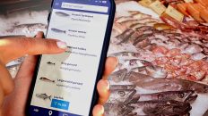
Scientists publish the collected data in online databases, making it freely accessible to marine industries like fishing. Some of these databases are quite comprehensive, even including reports from citizen scientists. Researcher Valentina Tirelli developed a free app called “avvistAPP,” allowing anyone with a smartphone to report sightings of marine life, such as jellyfish, dolphins, sea turtles and alien species like the blue crab.
“When citizens send in their observations, we validate them,” Tirelli says. “This combination of citizen data and researcher verification creates reliable information. This open-access data is available in the EMODNet Biology database, free for everyone to use.”
AI and autonomous platforms: a marine data breakthrough?
EMODnet, the European Marine Observation and Data Network, collects and shares data from across Europe. But manually processing samples, like counting plankton under microscopes, becomes increasingly challenging. Artificial intelligence is set to greatly accelerate this process, redefining what is possible with marine databases.
From Italy’s Adriatic Sea, we move to Belgium’s North Sea coast. At the Marine Station Ostend, researchers from the Flanders Marine Institute are already using digital cameras and AI to accelerate plankton identification. What once took a full day in the lab now takes just 30 minutes.
“We have AI models that are trained on our specific images that have learned to recognise all these species,” says Rune Lagaisse, a plankton ecologist at the VLIZ Flanders Marine Institute. “And so in a matter of minutes we can actually analyse a sample, get a full species list and it saves us a lot of time and money,” she adds.
And instead of monthly samplings, marine data can now be collected digitally around the clock. We took a trip aboard the Belgian research vessel Simon Stevin to meet the scientists making this possible with autonomous underwater platforms equipped with various sensors.
Klaas Deneudt leads the European-funded project DTO-BioFlow, which develops common standards to feed all types of data into the massive databases of tomorrow.
“What we really need is continuous data over time. We need to really take the pulse of the seas and know what is going on at each and every minute,” he tells us.
A remote signal releases the underwater buoy, bringing valuable acoustic recordings to the surface.
Researchers collect these recordings from various locations across the Belgian North Sea. One practical use is monitoring the presence of harbour porpoises — small marine mammals that play a crucial role as top predators in the local ecosystem.
These animals produce sounds beyond human hearing, but AI algorithms can detect them in the recordings, allowing researchers to map their movements throughout the year.
This data can help noisy industries, such as offshore wind, plan their activities to minimise disturbances to marine porpoises.
“Over winter time, they are mostly present,” observes Elisabeth Debusschere, a bio-acoustician at the VLIZ Flanders Marine Institute. “And then over summer, they are less present in Belgian waters. So that’s quite interesting. It could also be interesting for the offshore industry to plan their activities.“
Digital Twin of the Ocean
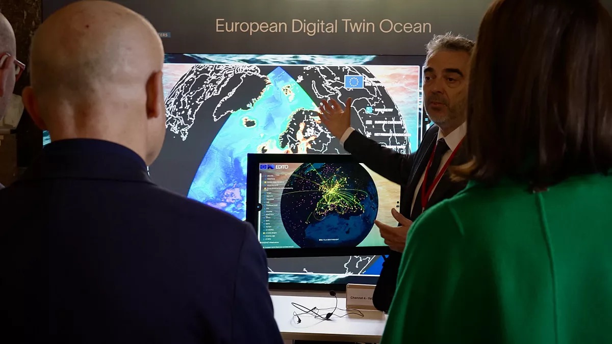
In the near future, all these continuous data streams will converge in a groundbreaking project — the Digital Twin of the Ocean. Its core infrastructure, developed through the EU-funded EDITO-Infra project, was recently unveiled at an event in Brussels.
“The Digital Twin of the ocean is a digital replica of the ocean inside your computer,” explains Alain Arnaud, Head of Digital Ocean at Mercator Ocean International. “It’s a place where you could gather all the information you can have on the ocean, and you made that available for the general public, and for all the scientists and decision makers.”
By integrating various data types, this virtual model can become a powerful tool for solving complex problems. Simon van Gennip from Mercator Ocean International, a non-profit (transitioning into an intergovernmental organisation) that co-develops the digital twin, showed how it can be used to address plastic pollution.
“Since the 1990s, we know all the currents in the ocean at global scale, and for every day,” van Gennip says. “It’s a treasure, because we can use it to virtually deploy particles where we think they enter the ocean from the coast. And then we can say, well, where does this virtual plastic particle, where is it transported by the currents the next day, and so forth. And then eventually we can get an idea of how plastic gets transported in the ocean. And so that’s what we can do thanks to model that we cannot obtain from observations we don’t have.”
Solving real-world challenges
Another application, presented by Kelli Johnson from the German research institute Hereon, focuses on finding the most effective ways to restore seagrass meadows.
“What we’re looking at with the Digital Twin of the Ocean is the ability to plug in the data to simulate this”,- the researcher says. “If the seagrass beds and meadows were to be bigger, if they were to be, for example, planted at certain depths in order to see the impact that seagrass meadows, for example, could have on coastal resilience and impacting wave heights and coastal erosion, which we have found already some very interesting results that they do impact these things. And so, it’s very important for us to be able to test this out.”
The Digital Twin of the Ocean promises to be a game-changer for policymakers. It will allow them to model different sea-use scenarios and test their realistic outcomes before making decisions.
Kestutis Sadauskas, Deputy Director-General for Maritime Affairs and Fisheries at the European Commission, outlines the potential benefits: “How do we sustainably use the ocean? Because we still need to fish, we need to produce electricity from the ocean energy, we we need to do shipping, we need to lay the cables. We need to enjoy ourselves as tourists there… It will be cheaper to make the decisions, and to make more correct decisions with less mistakes if we try to model it before we go out in real life,”- he says.
From underwater sensors to satellite observations and citizen reports, all this data will merge in the Digital Twin.
“We want to make sustainable use of this great resource that we call the ocean,”- stresses Klaas Deneudt. “We can only do that if we work together with different countries surrounding the seas, putting all the data that we have together and making it easily accessible.”
Once fully launched, the European Digital Twin of the Ocean will make a wealth of ocean data freely available — giving researchers, policymakers, businesses and citizens a futuristic new tool to benefit from the ocean sustainably.


